
- BY Crystal
- POSTED IN Company, Heritage Gold and Silver Project, News
- WITH 0 COMMENTS
- PERMALINK
- STANDARD POST TYPE
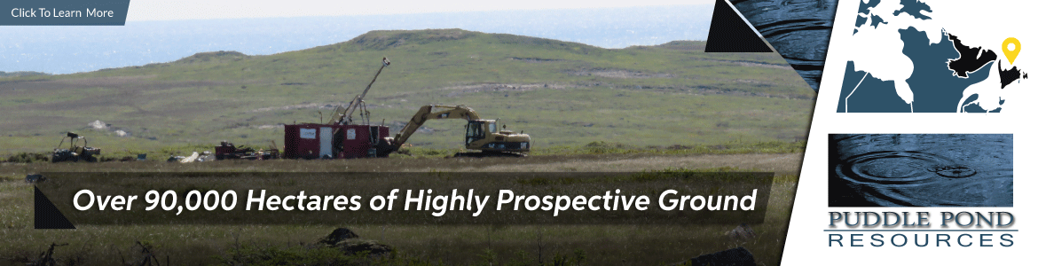
NL-based private resource company Puddle Pond Resources Inc. is pleased to report the start of the fall drilling program on its 100 % owned Heritage Gold – Silver (Au-Ag) Project located in the Avalon Zone belt of rocks on the Burin Peninsula, along the south coast of insular Newfoundland. A series of shallow, Tier-1 holes is planned for a minimum of 1000 metres (3500 ft.) of NQ size drill core to test untested gold and silver prospects.
The 2017 mapping, prospecting and trenching program has precisely fixed targets, now prioritized for initial drill testing, such as the Mossy Zone where excavator trenching in July exposed Au and Ag mineralized bedrock (ref. August 16, 2017 Release). It is planned to drill-test at least 8 of the untested mineralized prospects which are up to 1.5 km from the well-established Eagle Zone. Detailed drilling at the Eagle Zone has outlined a mineral inventory of 76,074 gold ounces (not yet 43-101 compliant), calculated by independent engineering firm P & E Consultants of Brampton, ON.
Latest mapping and research during the summer show the low sulphidation, epithermal Au-Ag mineralized prospects are part of a complex structural system of north-south and cross-cutting, east-west faults with mineralized quartz veins and hydrothermal breccias making up the 18 prospects aligned along 4 subparallel, north-south trending, mineralized fault zones.
These prospects are contained within the Point May Epithermal System (PMES) which measures 4.5 x 2.5 kms and is situated within the recently identified Smuggler’s Caldera, a large, ancient volcanic center (ref. August 16, 2017 Release). These calderas contain large fault zones which can act as major fluid pathways facilitating the deposition of the Au & Ag.
This year’s mapping and prospecting searched for mineralization along the east – west fault zones within the caldera, to test the potential along these zones which were not explored in detail. This work succeeded in discovering several sites with epithermal altered boulders along the east-west faults up to 2.5 kms west and 1.5 kms east of the 2.5 km width of the PMES. These new boulder sites indicate potential for Au & Ag mineralization to extend beyond the current mapped 4.5 x 2.5 km area of the PMES. Assay results from the boulders returned very weakly to moderately anomalous values and these sites will be prospected in detail during the current exploration program to determine the presence of any mineralization associated with the boulders.
The technical information in this release was compiled by President & COO Victor A. French, P. Geo who is a qualified person under NI 43-101 guidelines.